

01
Search images
Thousands of images by just click of a point
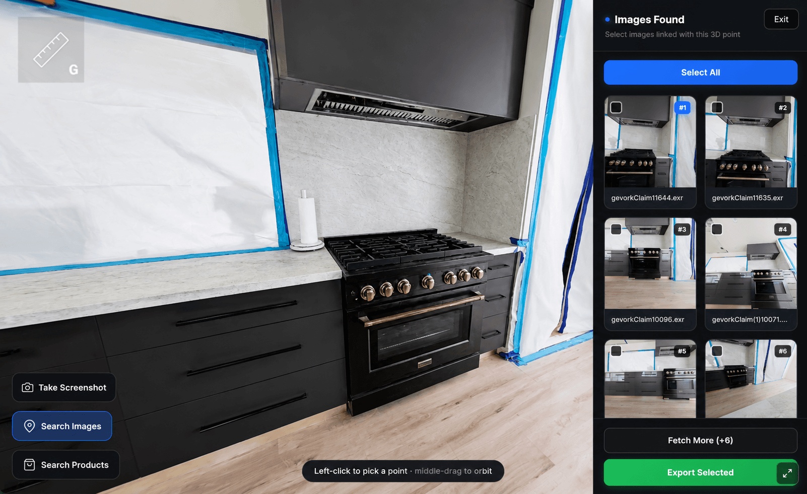

We capture existing or demolished spaces as an interactive 3D environment—photos, measurements, and thousands of exportable stills—so insurance claims and project teams share one clear spatial record. From $1.50 per square foot.
Why is it important
Turning physical spaces into digital records helps everyone work from the same truth. When conditions change, get demolished, or need to be reviewed later, a single walkable record reduces disputes, speeds up claims, and keeps decisions grounded in fact.
Tour the space virtually
Any space any time
What the documentation does
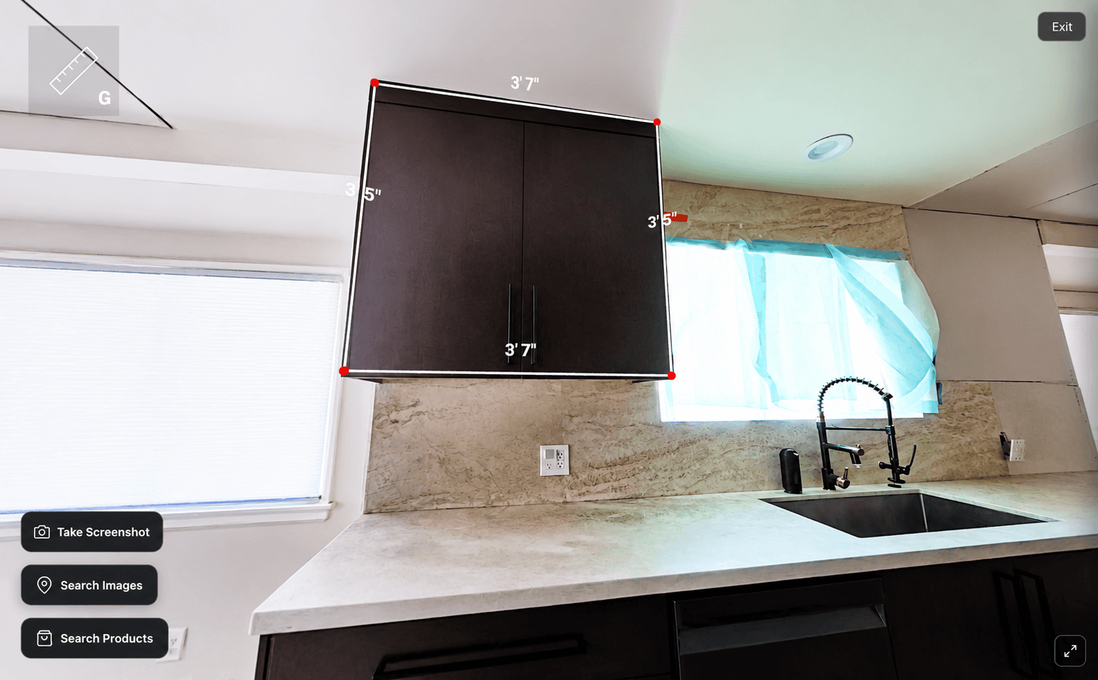
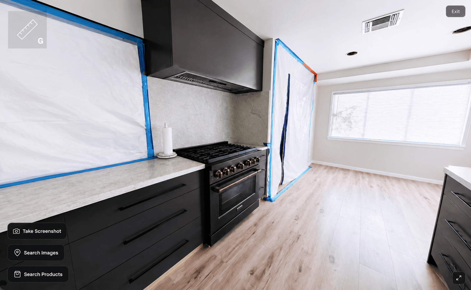
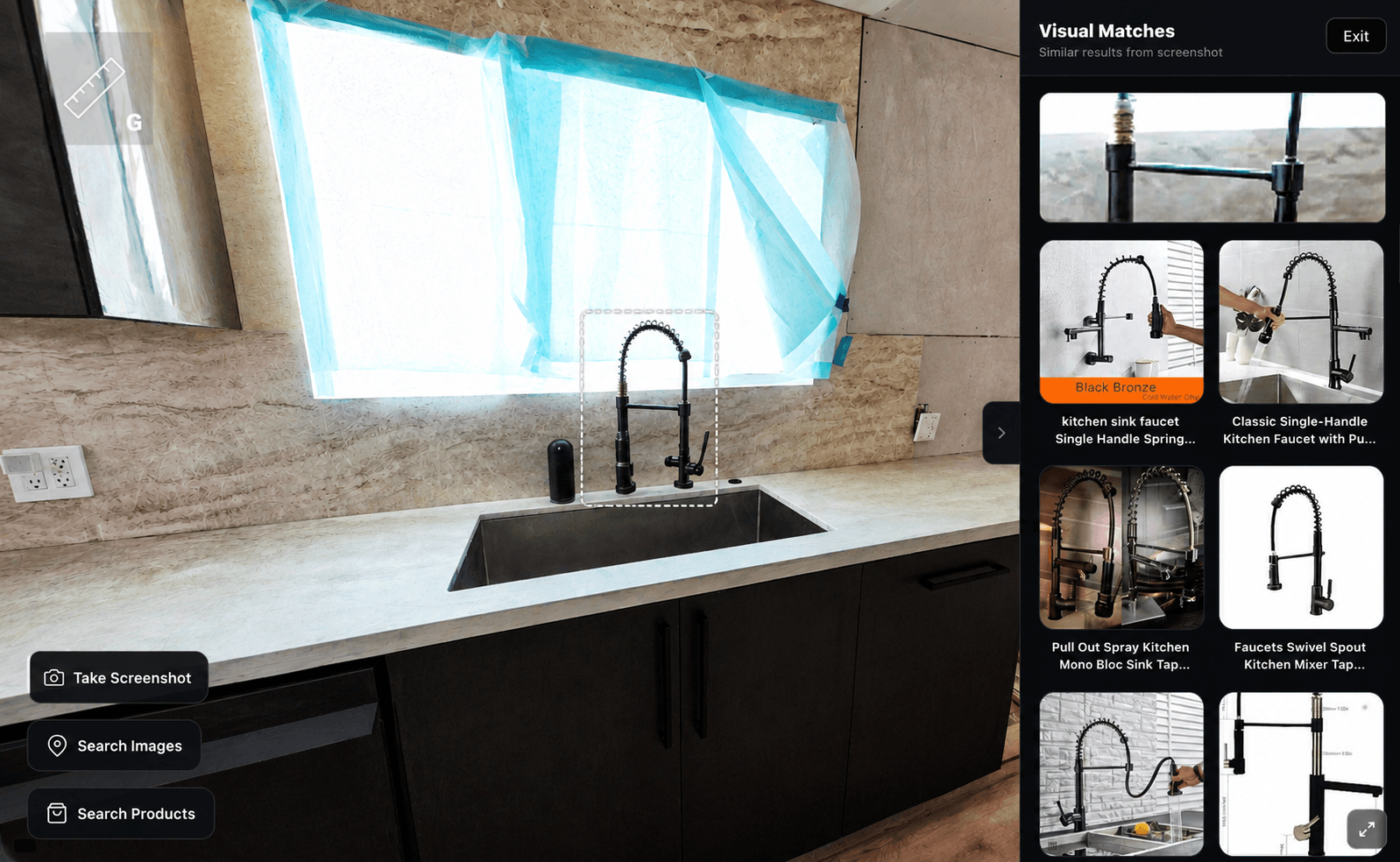
One of the reasons teams use this record is insurance claims—but the deliverable is always the same: complete spatial documentation you can walk, measure, and export.
Turning physical spaces into digital records—every room, every angle, documented as one continuous walkthrough.
Book a meeting or send a query. Emergency service within 24 hours in LA, Orange, and Pintura County. Outside coverage, book an appointment — we still serve you.
Bookings
Full booking flow: location & coverage check, scan area, Pacific time slot, your details, then confirm. In-area bookings include a $300 advance.
Query
Have details, a quote request, or something else? Send a message and we’ll get back to you.